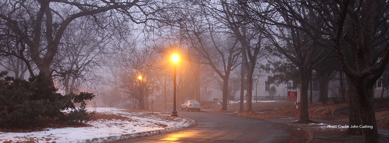
About the prospect park neighborhood
The Minneapolis enclave known as Prospect Park sits at the crossroads of Minnesota's two largest cities, a legendary river and a world-class university. At just over 1-1/4 square miles (323.25 hectares) in size, the area's twisting streets and historic landmarks, mix of urban and natural amenities, and tapestry of residential, commercial and industrial development make it distinct in the Twin Cities Metro Area, the 16th largest urban area in the United States.
Indeed, Prospect Park lies at the Metro's exact geographic center: situated between the University of Minnesota to the west, St. Paul to the east, SE 4th Street to the north and the Mississippi River to the south. The neighborhood is part of a district called Southeast Minneapolis, being on the south part of the east side of the river—a somewhat misleading designation that is nonetheless attached to all Prospect Park addresses.
The neighborhood is bordered by: Como Neighborhood, Marcy-Holmes Neighborhood, Seward Neighborhood, Union Park Neighborhood (District 13) in St. Paul, and South St. Anthony Neighborhood (District 12) in St. Paul.
Prospect Park was founded by Louis Menage in 1885. After a 20-year effort culminating in 2015, the neighborhood succeeded in achieving Historic District status for most of Prospect Park Neighborhood to protect it from the pressures of modern development
Prospect Park is described on other websites:
Read about the physical geography of Prospect Park.


