GETTING AROUND Prospect Park
Multimodal transportation includes walking, biking, transit, rail, cars and trucks. Prospect Park's central location in the Twin Cities metro gives it convenient access to main automobile traffic arteries through or near the neighborhood (Interstate 94, SH 280, University Avenue, and Franklin Avenue). The Minneapolis Park Board adopted a plan to complete the multimodal Ground Rounds National Scenic Byway from Northeast Minneapolis through Prospect Park all along SE 27th Ave, connecting to both East and West River Parkways and across the Franklin Avenue bridge.
- Walking Paths / Pedestrian Bridges - Besides our nice 2m- (6-foot) wide sidewalks along all of our neighborhood streets, several special walkways exist:
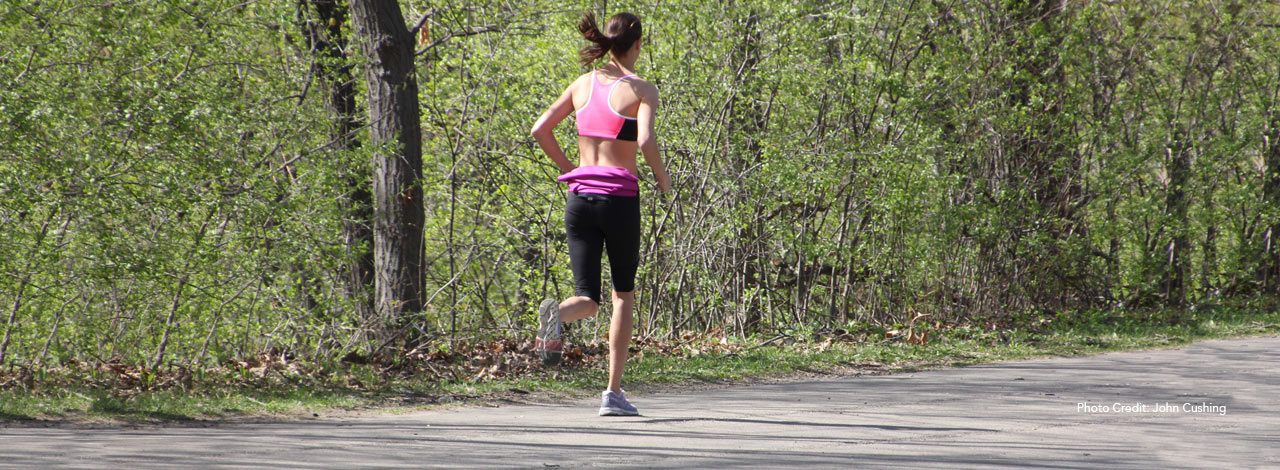
- the hiking path along the Mississippi River flats accessed via the stairway just east of the Franklin Avenue bridge in the middle, and the the ramp leading down just west of the Seymour Avenue - East River Parkway intersection on the east end. An elevated bridge above the river bank leads west to the U of Minnesota campus.
- the Arthur Ave - Williams Ave Cut-through providing access primarily for schoolchildren attending Pratt.
- the stairway access west from Luxton Park down to SE 27th Ave, and along the north edge of the I-94 exit ramp to the pedestrian bridge over Huron Boulevard to the Motley Area of Prospect Park.
- the pedestrian bridge connecting segments of SE Seymour Ave in the SOFA Area to the River Road Area.
- the future restoration of a path along what would be SE 29th Ave connecting to SE Williams Avenue.
- Biking Trails and Bicycle lanes - Bike lanes created and maintained since 2009 on East River Parkway, SE 27th Ave, and along the U of M Transitway north of 4th Street reduce the dependence on automobiles within the neighborhood. A poorly maintained trail created in 1978 goes along the noise-abatement wall along the north side of I-94 from SE Williams Ave, along SE Arthur Ave, and continues all the way to SE Emerald Ave.
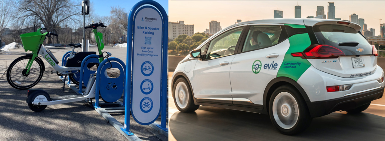
- Bicycle & Scooter Sharing - from Lime, Veo and Spin. The Minneapolis City website has the latest information.
- Electric Vehicle (EV) Car Sharing - HOURCAR & Evie Community Carshare
- Transit Mobility - Low-cost Mobility Programs are supported by Metro Transit's Transit Assistance Program (TAP). This makes public transit more affordable for lower income residents. Qualified riders can use the bus and light rail for $1 per ride.
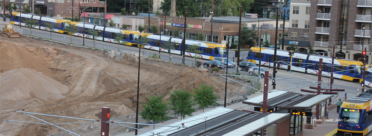
- Light Rail Transit (LRT) and Metro Transit Busses - Both the Prospect Park Light Rail Station at SE 29th Ave. and the Stadium Village Light Rail Station on the Metro Transit LRT Green Line provide excellent access to both downtowns. Another light rail station serves Prospect Park: Westgate Station at the St. Paul border.
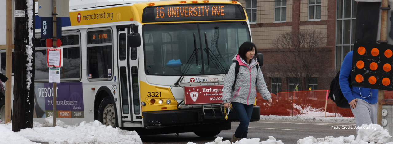
- Metro Transit Busses - Several Metro Transit bus routes (E, 3, 6, 30, 63, 67, 120, 121) complement this service.
The new Metro E Rapid Bus connects Westgate Station in St. Paul to Dinkytown along University Avenue and then into downtown Minneapolis. - Bus route 121 connects the Minneapolis U of M Campus to the St. Paul U of M Campus via the U of M Transitway.
Transportation planning
The PPA Transportation & Safety Committee continues the work to:
- monitor five specific intersections, including timing and location of signals and signs
- reduce freeway noise and implement traffic calming measures
- increase pedestrian and bicycle connections and infrastructure
- implement the Grand Rounds Parkway and East River Gorge Park plans
The PPERRIA Transportation/Transit Committee as part of the NRP Process (1994-2002) created a vision of efficient, practical and environmentally appropriate means of transportation within our neighborhood and between Southeast Minneapolis communities. Within the NRP plan the neighborhood implemented measures that:
- enhanced traffic calming and safety, including reconfiguring difficult intersections such as the Franklin Ave-River Parkway-27th Ave 5-way nexus.
- improved pedestrian friendliness (such as better access on Tower HIll),
- reduced the negative impact of traffic through the neighborhood.


